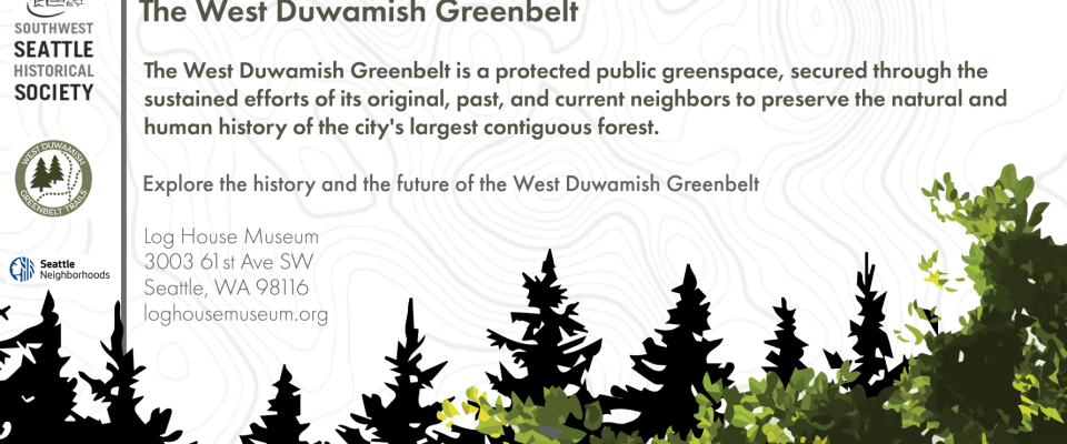


The city’s largest contiguous forest, the West Duwamish Greenbelt, covers more than 500 acres and spans more than four miles along the Duwamish Peninsula. Its ridges, river, and creeks formed over thousands of years and sustain a diverse habitat for wildlife. Coast Salish people have lived among and harvested from its forests and waterways for tens of thousands of years. Beginning in the 1850s, as the city evolved from industry, so too did this forest. Despite intense urbanization, many have fought for its preservation.
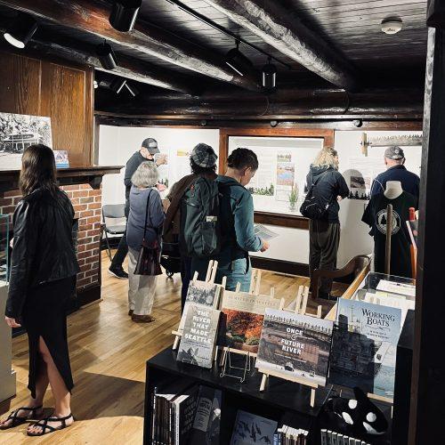
Seattle’s Forest: The West Duwamish Greenbelt shares the geological, indigenous, industrial, and political history of the Greenbelt and features community sourced photographs.
View: Trails Through Time: Contamination and Restoration in the West Duwamish Greenbelt, an interactive Story Map that traces the intertwined natural, cultural, and industrial history of Seattle’s largest contiguous forest. From Coast Salish stewardship to 20th-century gravel pits, brickyards, and cement kiln dust disposal, the Greenbelt’s story reflects both resilience and the lasting impacts of industrialization. This map was designed by Lisa Meoli, a Senior Environmental Historian at Floyd|Snider, in partnership with the West Duwamish Greenbelt Trails Group and the Southwest Seattle Historical Society.
This exhibit was developed in partnership with the West Duwamish Greenbelt Trails Group, Duwamish Tribe, Ridge 2 River Coalition, and Delridge Neighborhoods Development Association.
With support from our sponsors, including:


